Note
Click here to download the full example code
GIS Data
Convert all the GIS data to OMF
Be sure to install gdal:
conda install gdal
# Import project package
import gdc19
import pyvista
import omf
import omfvista
import pandas as pd
import numpy as np
First, get the land surface to match Z-coordinates of shape files with the topography.
description='vertices of meshed/interpolated surfaces of the ' \
    'land surface (based on 10-meter DEM) used in the Phase 2B '\
    'earth model. All data are georeferenced to UTM, zone 12N, '\
    'NAD 83, NAVD 88.'

land_surface = gdc19.surf_to_omf(
    'land_surface_vertices.csv',
    'land_surface',
    description
    )
land_surface.validate()
topo = omfvista.wrap(land_surface)
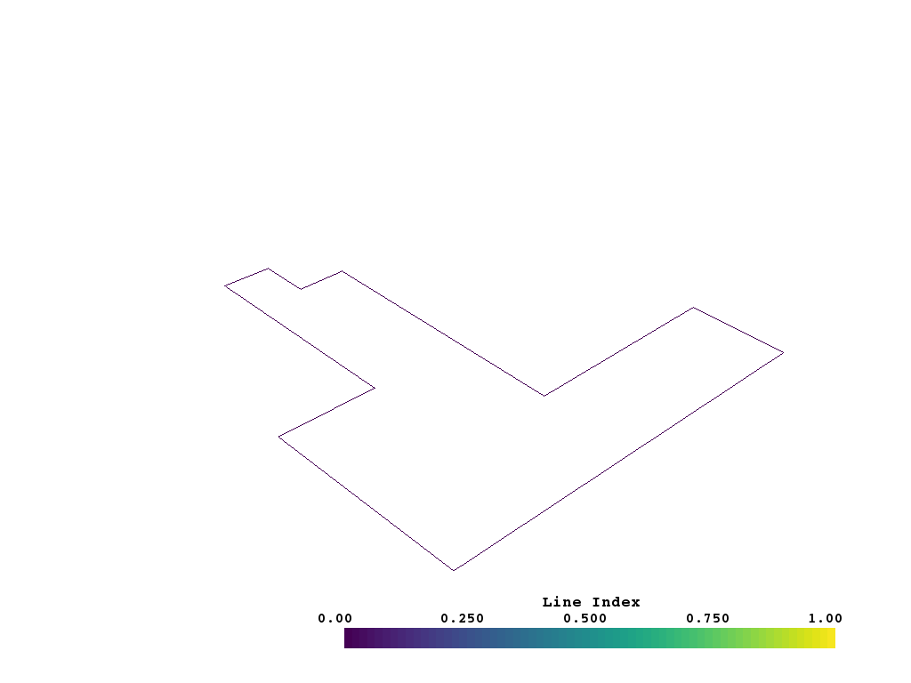
Load the shape files
shapes = gdc19.read_shape_file_to_omf(
    gdc19.get_shp_path('FORGE_Outline'), topo_points=topo.points
)
shapes
boundary = shapes[0]
boundary.name = 'boundary'
boundary.validate()
omfvista.wrap(boundary).plot(show_edges=False)
Now save out the GIS data to an OMF project file
proj = omf.Project(
    name='FORGE GIS Data',
    description='All GIS data for the 2019 FORGE Geothermal Student Competition '
)

proj.elements = [ boundary ]

proj.validate()
Save the GIS project file
omf.OMFWriter(proj, gdc19.get_project_path('gis.omf'))
Total running time of the script: ( 0 minutes 21.019 seconds)